With seed funding from the Rose Foundation for Communities and the Environment (https://rosefdn.org/), Creek Lands Conservation is working to address long-standing water quality and habitat degradation in the Santa Maria River watershed through outreach to the community. We are:
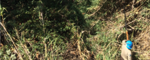
Training Young Adult Committee members of CAUSE to test the quality of the water in the Santa Maria River estuary
Working with state and regional agencies to design water quality and water quantity improvement projects
Devising a watershed report card framework to interpret collected data in an easy to understand format
Providing outreach events to educate and engage the community in their local watershed health
This is the first community-based watershed group development effort for the Santa Maria River.
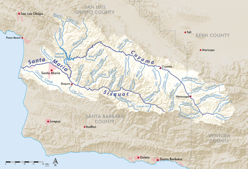
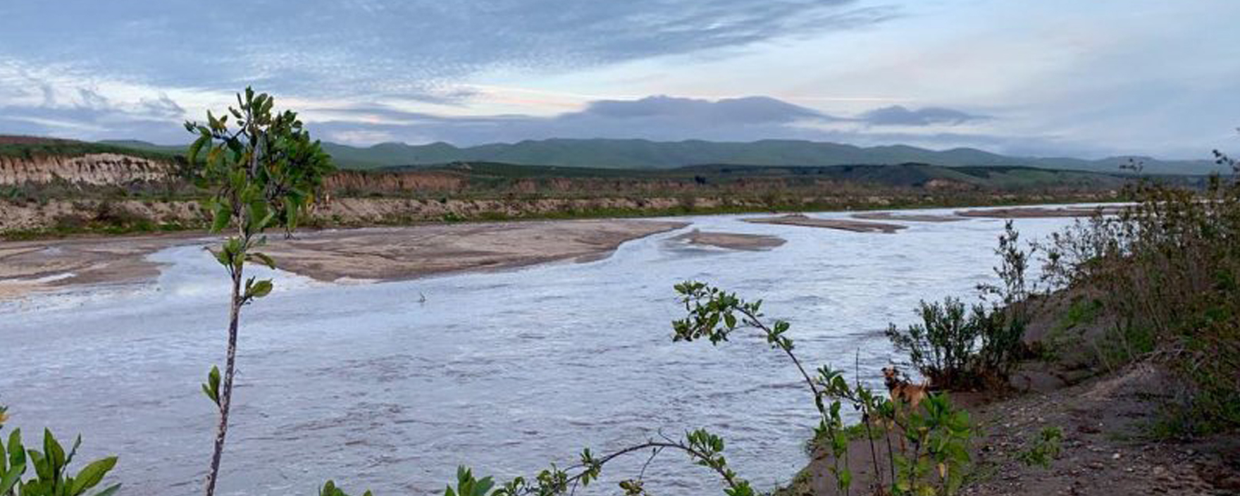
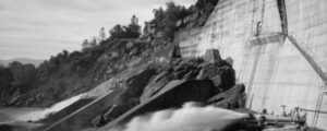
The Santa Maria River forms the border between San Luis Obispo and Santa Barbara Counties. The river is formed by the confluence of the Cuyama River and the Sisquoc River. The Cuyama is dammed by Twitchell Dam. The purpose of Twitchell Dam is to release captured water to recharge the groundwater basin for flood control for the Santa Maria Valley.
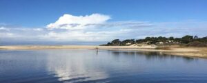
The headwaters of the Cuyama is in the Los Padres National Forest. The Sisquoc headwaters is in the San Rafael Wilderness and is Wild and Scenic for 33-miles from headwaters to the National Forest border.