
Project Overview
In partnership with the Monterey County Resource Conservation District, we completed a watershed management plan to support recovery of threatened Steelhead trout in the watershed. Read it at the link included below.
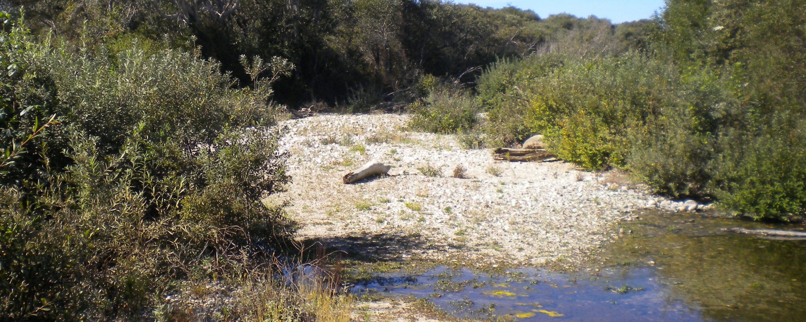
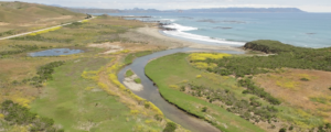
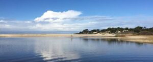
The Big Sur River, located on the Central California coast, is 47 square miles in size, and runs approximately 24 miles from its headwaters in the Santa Lucia Mountains to its mouth at the Pacific Ocean, and together with its tributaries includes 60 miles of streams. The upper river and watershed lies within the Ventana Wilderness and encompasses the headwaters downstream to the area known as the Gorge. The lower river runs through Pfeiffer Big Sur State Park, the Big Sur village, several private camp grounds and Andrew Molera State Park where it flows through a lagoon to the Monterey Bay National Marine Sanctuary in the Pacific Ocean.
The Big Sur River Watershed Management Plan was funded by the California Department of Fish and Wildlife’s (CDFW) Fisheries Restoration Grant Program (FRGP) to develop a technically sound plan that investigated the habitat factors affecting south-central California steelhead (Oncorhynchus mykiss) population dynamics in the Big Sur River Watershed. The voluntary, stakeholder-engaged planning process solicited community issues, assessed and synthesized existing conditions, and proposed recommended actions to support restoration and recovery of steelhead. Specifically, the objectives of this plan were to assess existing conditions, document issues and concerns of stakeholders related to the watershed’s ecological conditions, and prioritize recommendations based on the assessments conducted. The plan was developed with stakeholders representing business, private landowners,
residents, California State Parks, private campgrounds, US Forest Service, fishing interests and planning advisory groups who live or work in the watershed. Stakeholders met periodically to advise and inform the process, contribute historic and current information, and to review plan drafts and provide comments.
Steelhead continue to persist in the Big Sur River below reported historic levels based on the synthesis of existing watershed conditions, assessments conducted specifically for this plan, and input from stakeholders and technical advisors. The watershed continues to exhibit relatively healthy physical and ecological conditions and is generally in good to very good condition. The watershed management plan includes a suite of recommendations related to management and monitoring strategies, maintaining good habitat conditions, and prioritized restoration projects to improve physical and ecological conditions in the watershed for steelhead trout. They are intended to be implemented on a voluntary basis by or with the consent of willing landowners. The recommendations below represent an integrated priority of actions to address anthropogenic activities to reduce stressors to the steelhead population in the watershed:
• Address visitor impacts through coordinated education, messaging, and outreach
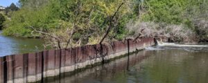
• Remove or modify anthropogenic barriers to fish passage
• Restore native riparian vegetation in reaches affected by high visitor use
• Manage naturally recruited large woody debris instream to conserve habitat complexity
• Fill key data gaps including the initiation of the Coastal Monitoring Program
PROJECT CONTACT
Team Creek Lands
Email: info@creeklands.org
Phone: (805) 473-8221
PROJECT VISION
Other keywords: Big Sur, Big Sur River, Central coast, Big Sur River Watershed, Monterey County Resource Conservation District, Monterey County, Pfeiffer Big Sur State Park, Ventana Wilderness, Monterey Bay National Marine Sanctuary