
Project Overview
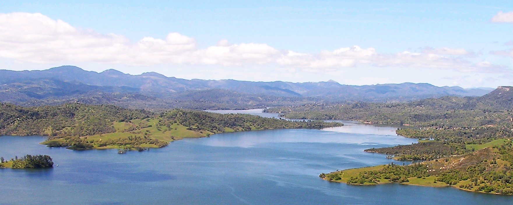
We completed a watershed management plan in 2008, under contract with the Monterey County Water Resources Agency and in partnership with the Nacitone Watersheds Steering Committee, to describe the existing conditions and water quality issues in the Nacitone Watershed, and provide recommendations to improve conditions. “Nacitone” is the local shorthand for the combined watersheds of the Nacimiento and San Antonio Rivers, both tributaries of the Salinas River. Both have dams and reservoirs that are used for recreation and fishing, in addition to water supply with releases used as mitigation to salt water intrusion on the mainstem to support the robust agricultural economy. The area sits in the southern-most portion Monterey County, and just inside the northern edge of San Luis Obispo County, north of Paso Robles. This Watershed Management Plan included both counties as stakeholders to develop short- and long-term goals and solutions. Read it here.
PROJECT CONTACT
Team Creek Lands
Email: info@creeklands.org
Phone: (805) 473-8221
PROJECT VISION
Other keywords: Nacitone, San Luis Obispo County, Monterey County, Groundwater, Surface Water, Instream Flow, Steelhead trout, Water Quality, Salinas River, Salinas Valley, Paso Robles, San Miguel, Ventana Wilderness, Los Padres National Forest, Lockwood, Santa Lucia Range, Lockwood Basin, WRI, Watershed Resources Inventory, Hydrology, Ecology, Fort Hunter Liggett, Camp Roberts, Grazing Land Management Plan
